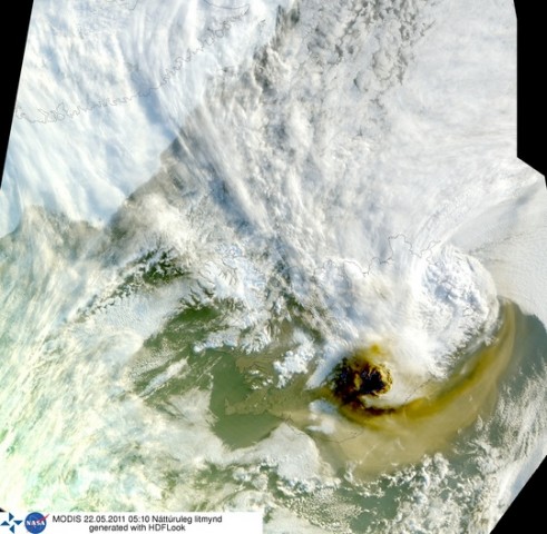
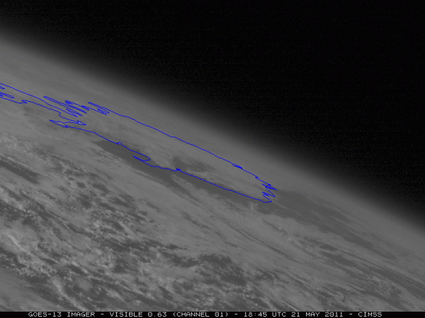
There were a few satellite images that have been generated from satellite data over the past 24 hours.
The always excellent Icelandic Meteorological Office has posted the following image generated at around 5 in the morning today (original here).

Another spectacular animation was generated yesterday immediately after the eruption by the GOES Project Science at NASA. Click on the image to see the animation – loading might take a while.

The UK Met Office is constantly updating their Ash Cloud forecast for the next 24 hours. You can find all the latest updates on the Met Office website.